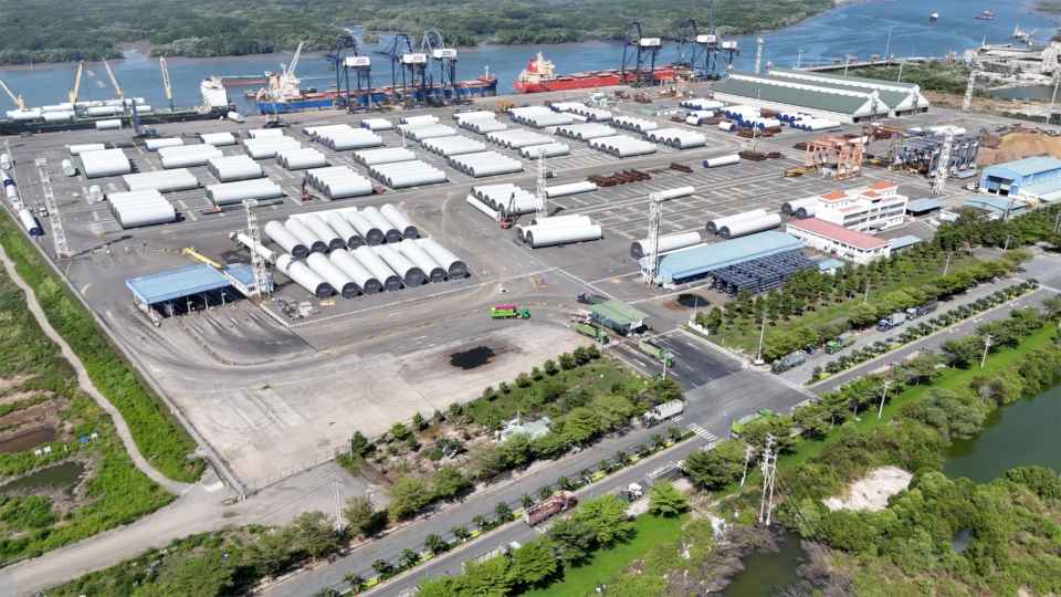
Veer Autonomous
Boring Autonomy.Massive Economic Value.
The spatial infrastructure for everyday autonomy.
Veer builds the maps, tools, and infrastructure that let autonomous machines work reliably in controlled environments.
Veer Autonomous
The spatial infrastructure for everyday autonomy.
Veer builds the maps, tools, and infrastructure that let autonomous machines work reliably in controlled environments.

The Opportunity
Warehouse automation proved a simple idea: bring the work to the worker. Inventory moves to a fixed picking station, on known routes, inside fixed boundaries, at predictable volume. Controlling the environment is what unlocked the productivity gains.
Outdoors, that idea inverts.
Private sites don’t have one station. The work (the car in row Q, the debris across the access road, the delivery for the med center) is scattered across acres, and it doesn’t come to anyone. The constraint isn’t getting inventory to a picker; it’s getting there costing as much as being there.
You can only be in one place. Your vehicle doesn’t have to be in it with you.
Learn the technology
Taking automation outdoors is one thing. Taking it on the road is another.
Level-4 autonomy unlocks the existing road network, not just sidewalks and fixed routes. A machine can travel at driving speed, navigate intersections, obey traffic rules, and share the road with other vehicles. Your existing road network becomes its operating environment.
That changes the economics of what autonomous machines can do. And it starts with the map.
How does a machine know where it is? ▸
How does it distinguish a road from a parking lot? ▸
How does a LiDAR scan become a map a vehicle can actually drive on? ▸
Why do coordinates matter so much? ▸
And why does an autonomous vehicle need a completely different kind of map than Google Maps? ▸
The Handbook takes you inside that machinery, from coordinate systems and sensors to Lanelet2, localization, routing, and the spatial representations that let autonomous machines understand the places they operate.
No robotics degree required. No black boxes. Just the technology, explained from first principles.
From the blog When terra firma isn’t so firma: why a coordinate carries a date as well as a position.

Mapping and programming the physical world for autonomous machines.
 Veer Engineering
Applications
The machines aren’t the science experiment anymore.
In many controlled environments, autonomous vehicles already work. On campuses, farms, yards, ports, and other private sites, road-going autonomy makes it possible to operate at a scale that constrained robots cannot match. What’s missing is the infrastructure to turn capable machines into practical, deployable systems; to make autonomy accessible beyond the laboratory.
That’s the problem Veer is solving.
The scenes below illustrate application categories already in deployment. You build the utility vehicle. We build the autonomy stack your customers are already asking for: HD mapping software, site-scanning hardware, drive-by-wire retrofit kits, and reference implementations that prove the system end to end.
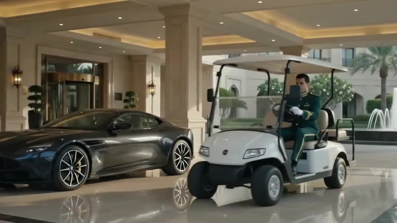
Autonomous transportation across private road networks turns time spent sprinting across the lot into time spent with the guest.
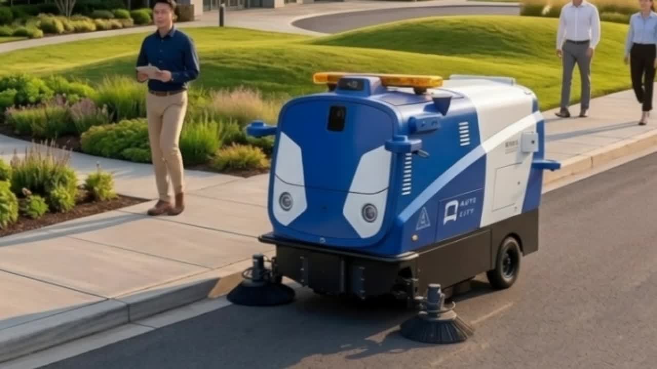
Automated sweepers are already common in parking lots: running them on connecting roads, overnight, just extends the shift.
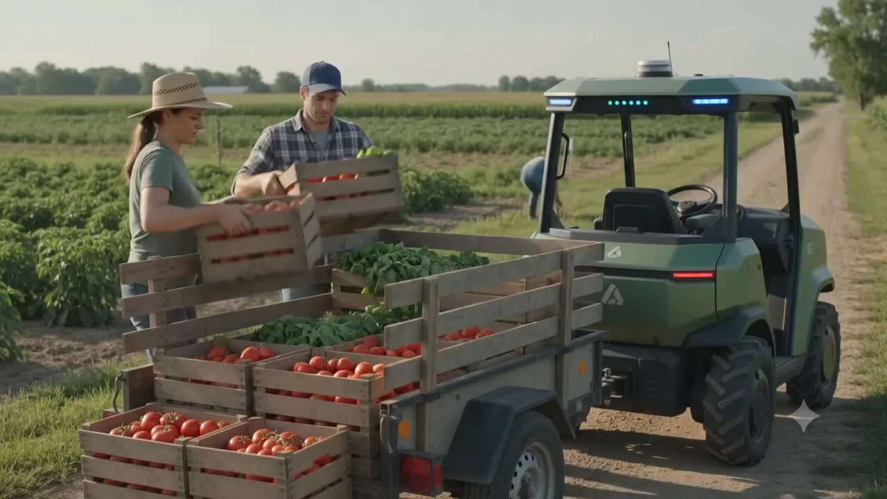
Utility vehicles already haul cargo on farms. Add road-going range, and one vehicle covers the whole operation, moving tools and supplies wherever the work has moved to.
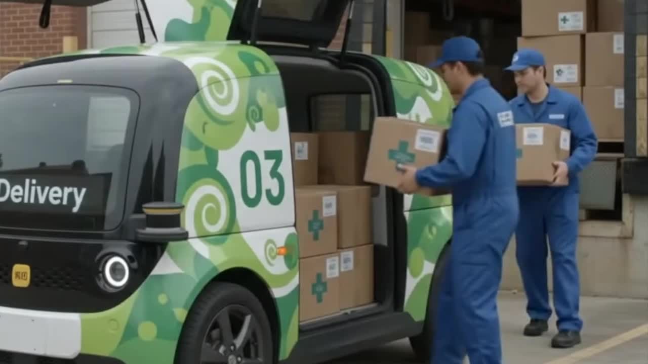
Delivery robots already run point-to-point routes on campuses. Road-going range turns that into continuous micro-logistics: smaller loads, more trips, higher utilization per vehicle.
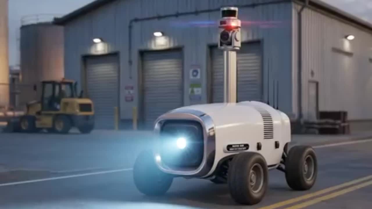
Perimeter UGVs already patrol industrial and defense sites. Most of a patrol shift is nothing happening. That’s exactly the part worth automating, freeing a person for when something finally does.
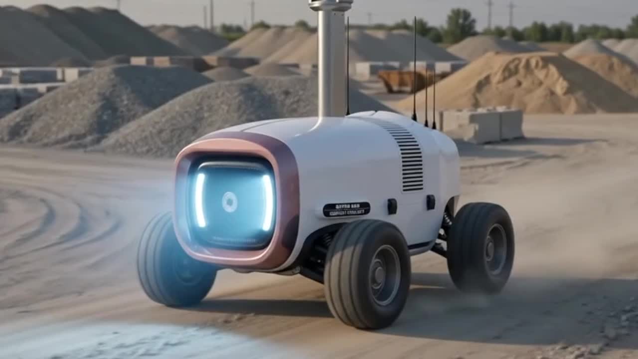
Digital twin capture is already standard for construction. Run it on a loop instead of a one-off scan, and you get a real time series of the site changing.
For vehicle manufacturers
You build the vehicle. We make the next one autonomous.
Sweepers, shuttles, tugs, yard trucks: if your customers are starting to ask about autonomy, we have the maps, the retrofit hardware, and the reference implementation to get you there. No cloud dependency, no platform tax. Your vehicle, your brand.
The Idea
Humans understand a place almost effortlessly: roads, buildings, boundaries, obstacles, rules, and destinations, all read as parts of a coherent whole. Autonomous machines need that understanding represented explicitly. That is what an HD map provides: a structured, machine-readable representation of a place.
The technology behind it: every source of spatial truth about a site stays its own layer, non-destructively, inside a single representation of the place.
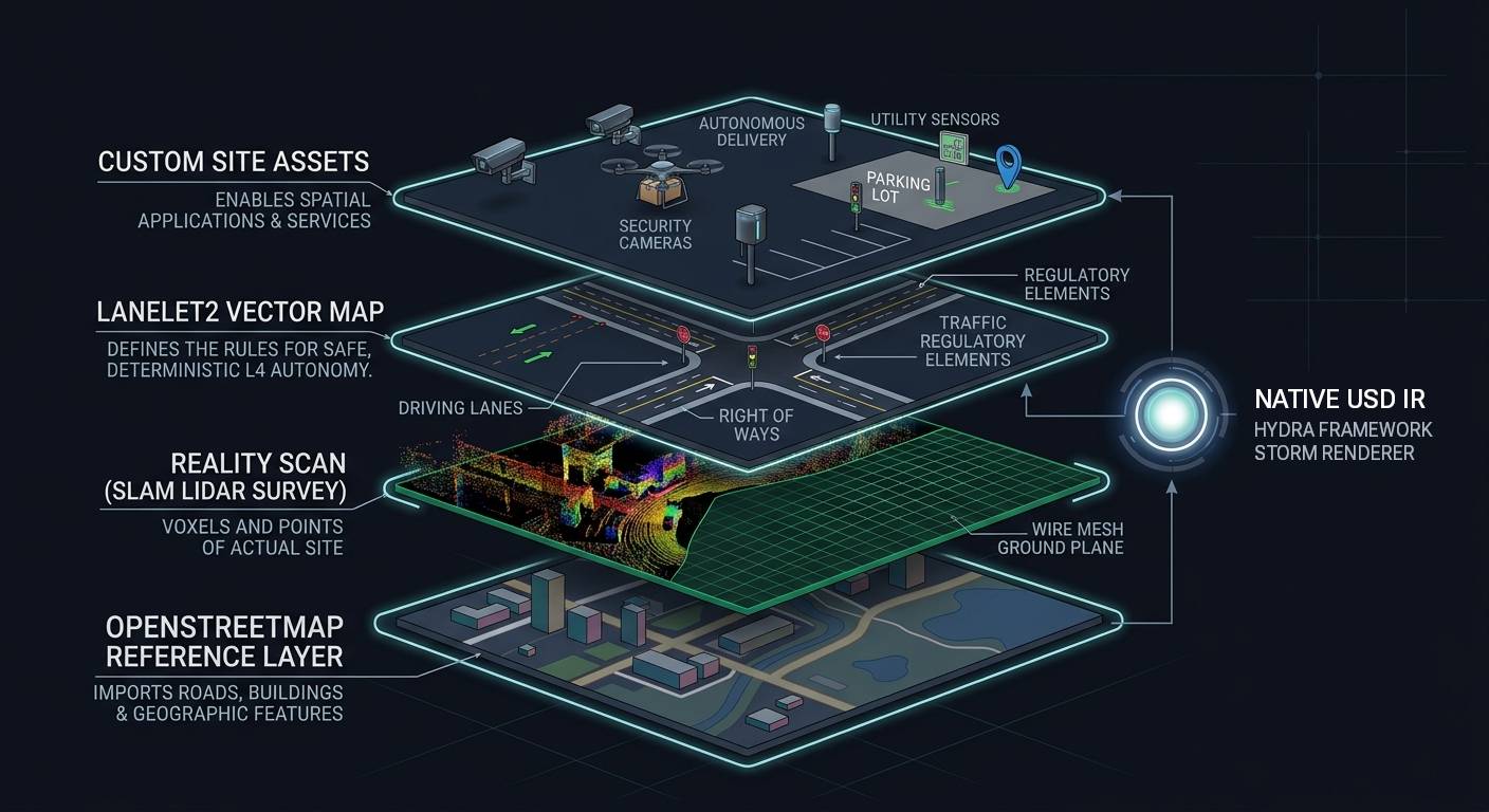
The base layer. OpenStreetMap geometry seeds every project with accurate roads, building footprints, and natural geography.
A precise volumetric capture of the actual site: dense point clouds and voxels anchored on the scan-derived ground mesh.
A deterministic layer of driving lanes, regulatory elements, and rights-of-way a vehicle can follow without ambiguity.
High-level spatial systems build directly on the USD scene: security monitoring, autonomous delivery, persistent digital twins.
The same place appears in all four layers, each representation doing a different job. The Handbook chapter The Same Object in Multiple Representations shows how they stay consistent.
The Product
Turn the physical world into a map an autonomous machine can use.
Import LiDAR. Align reality. Author lanes and rules. Validate the result. Export a production-ready Lanelet2 map.
Free for non-commercial use. Commercial license required for production use.
Windows, Linux, and macOS.
Rendered natively with USD’s imaging pipeline.
Every layer streams through the same Storm / Hydra renderer your simulator, game engine, and digital twin already speak; no format conversion, no fidelity loss.
In the Tool
Workflow
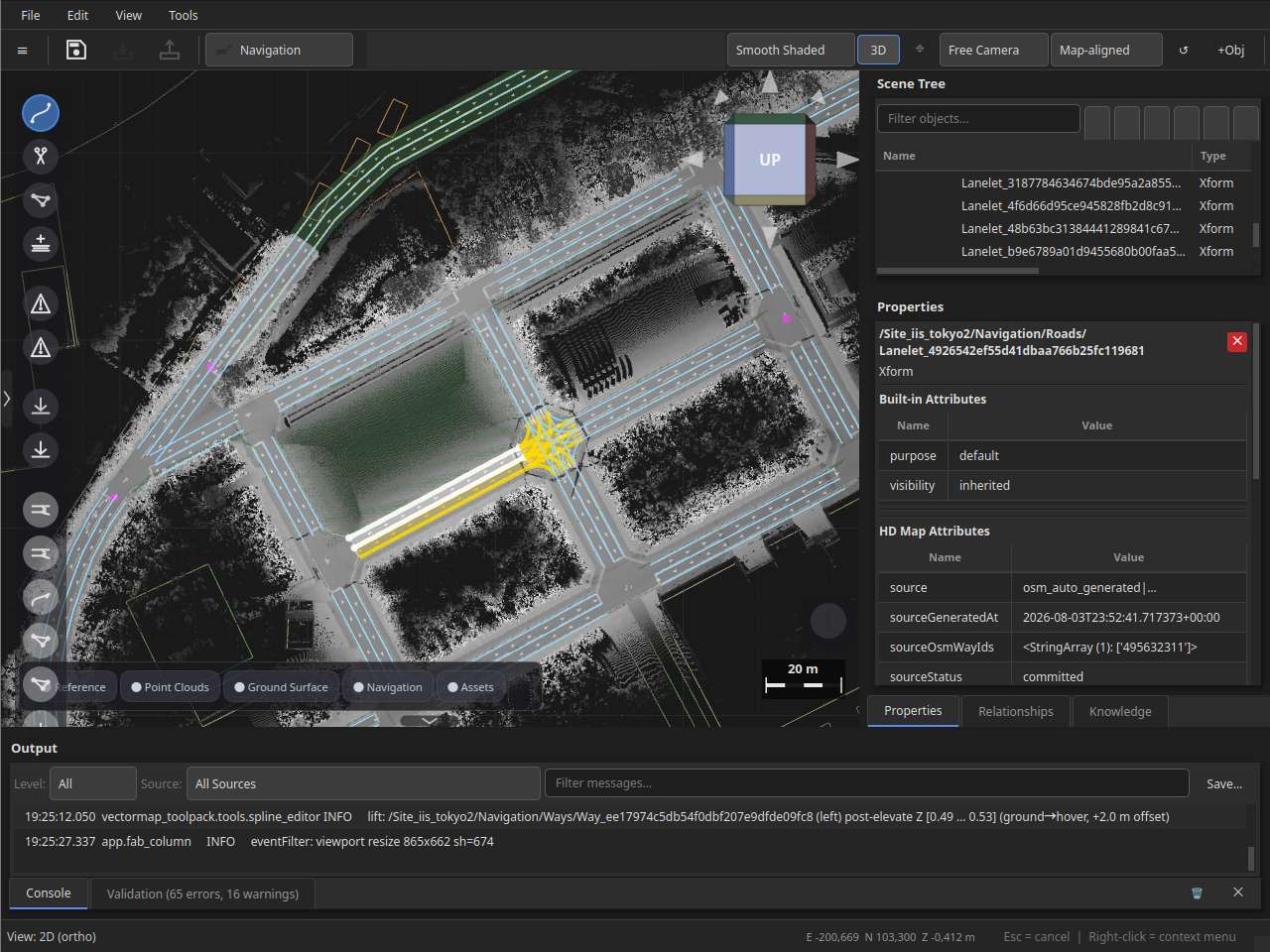
Drop in a LiDAR point cloud. Pull OpenStreetMap road geometry as reference. Veer Studio autogenerates lanelet skeletons on the OSM centerlines, snap them to the point cloud surface, place regulatory elements visually, and export a validated Lanelet2 map. No XML, no cloud upload, no format conversion.
Workflow
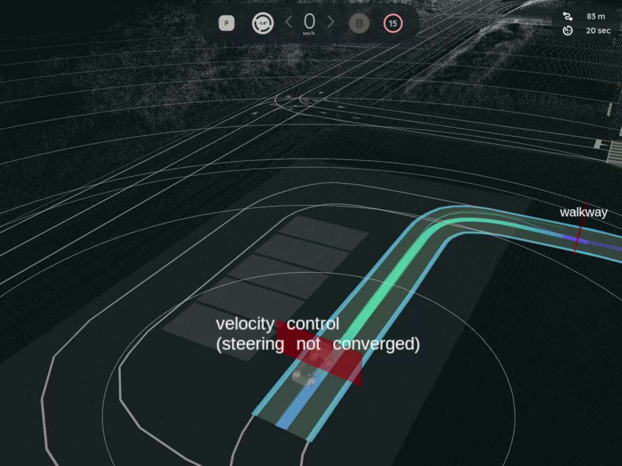
Run 12+ built-in validation rules against your map: catch disconnected lane graphs, missing regulatory elements, and Z-height errors before they reach the vehicle. One-click export to Autoware Lanelet2. The map loads into the planning simulator with zero schema errors. Your data never touched a cloud server.
About Veer
The people, the thesis, and where we’re taking Veer.
Contact
Tell us about the machine, the site, or the job you want it to do.