The robotaxi gets the headlines because the robotaxi is hard. Chaotic public streets, unpredictable humans, an infinite long tail of edge cases. It makes great copy and a hard research problem.
Meanwhile, on private sites around the world, autonomy is quietly doing work that pays. Not someday. This morning. The pattern is always the same: a bounded environment, a low speed, a repeatable job, and a map that encodes the site’s rules. Change those four ingredients and you change what the technology can promise.
Here are five jobs where that pattern already holds, and what each one demands from its map.
1. Campus and resort transport
Low-speed shuttles moving people along fixed loops: corporate campuses, resorts, golf communities, logistics depots moving staff between lots and buildings. The route rarely changes. The speed is 5 to 15 mph. And because the vehicle is not tied to a driver’s location, it can be running the loop even when no one needs a ride yet. Pedestrians are everywhere, which is exactly why the map matters: crosswalks, yield zones, and speed limits have to be encoded as rules the planner trusts, not left for perception to rediscover every second of every day.
What the map carries: lanelets for the loop, pedestrian crossings, speed limits per segment, stop positions at every gate and junction.
2. Facility sweeping and road maintenance
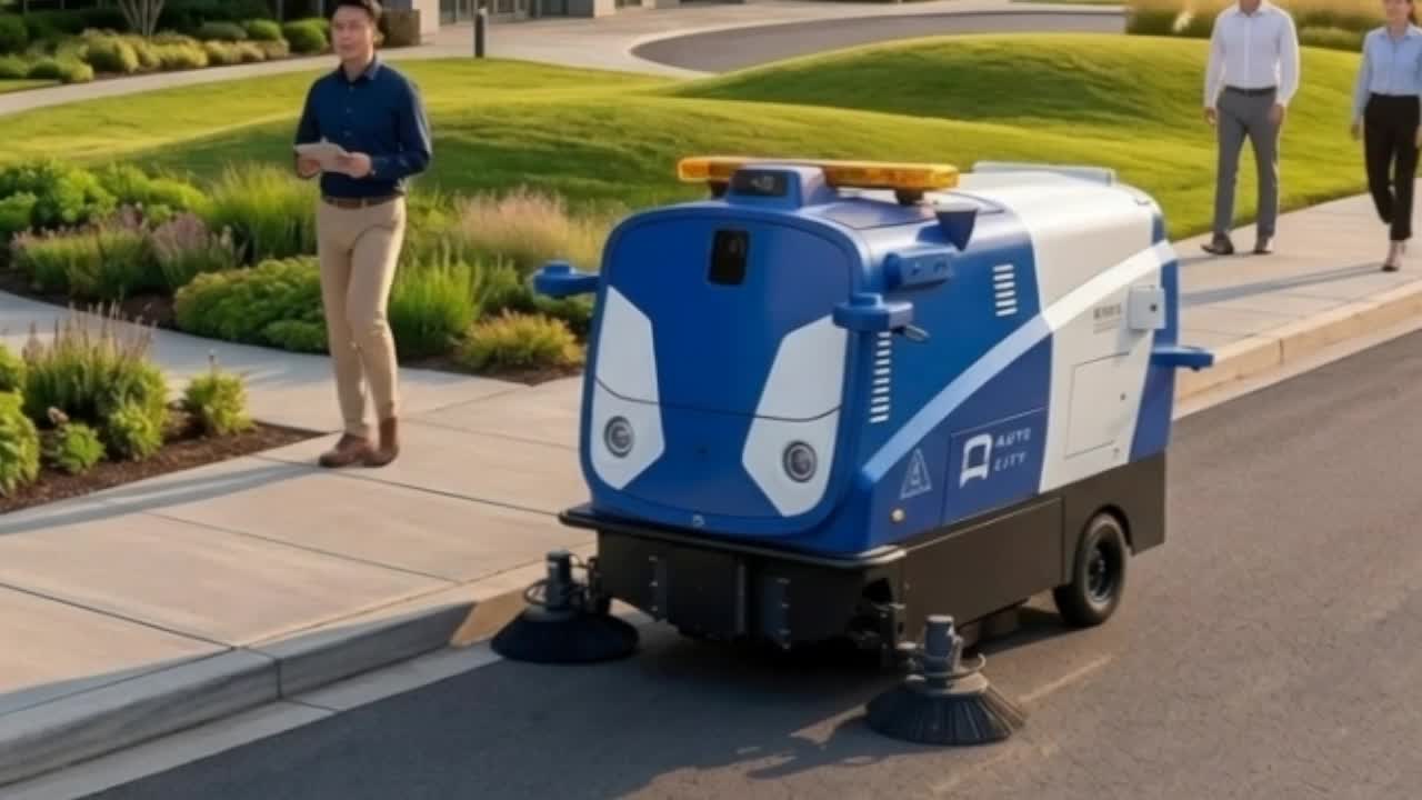
Sweepers are the workhorses of boring autonomy: parking lots, campus roads, industrial access roads. The job is long, repetitive, and typically done at inconvenient hours, which makes it expensive to staff and easy to automate. The map’s job is to make the coverage complete: every drivable lane, every curb line to follow, every island and planter to avoid.
What the map carries: precise curb and edge geometry, non-drivable areas (planters, islands, ditches), the full coverage route including dead-end passes.
3. Security patrol
Perimeter patrol UGVs run the same loop all night, every night. A human guard’s attention degrades over a twelve-hour shift; a robot’s does not. The patrol is also where autonomy meets accountability: the vehicle’s route, its pause points, its camera positions, and its restricted zones all have to be declared somewhere a security director can audit.
What the map carries: the patrol loop, checkpoint positions, access-restricted zones, and the geofence that defines the patrol’s boundary.
4. Yard logistics and cargo tugs
Airports, ports, distribution centers: tugs hauling baggage, cargo, and containers along marked yard roads. The vehicles are already electric, already low-speed. The environment is dense with rules: one-way lanes, dock assignments, right-of-way at crossings, and mixed traffic with human-driven trucks.
What the map carries: one-way topology, dock approach zones with their own speed rules, right-of-way at every intersection, and keep-clear zones around active docks.
5. Mobile scanning and digital twin upkeep
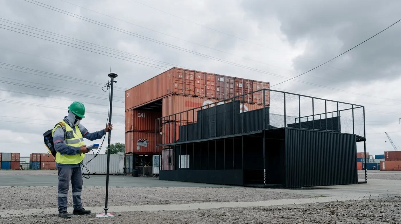
The newest job on the list: vehicles whose payload is the map itself. A mobile scanner on a regular circuit keeps a site’s digital twin current, catching the changes (a new container pad, a restriped lot, a relocated fence) before they cause a robot failure. Every site above eventually needs this job done, because every site changes.
What the map carries: the scan route, repeatable coverage of everything that changes, and enough georeferencing to align each new scan with the map it is updating.
The common thread
None of these jobs waits on a breakthrough. Each one is an integration problem: a vehicle, a site, and a map that tells the vehicle what the site means. Perception and planning are solved well enough at 5 mph on a marked road. What is scarce is the map: accurate to centimeters, rich with rules, and cheap to keep current as the site evolves.
That scarcity is the whole reason this blog and the HD Map Handbook exist side by side. The Handbook is the reference: how maps work, how they are built, how they break. This post is the argument for why anyone should care. If you run one of the five jobs above, the map is your critical path, and keeping it true is an operating cost you should budget from day one.
Start with the Handbook’s opening chapter if the territory is new, or read why we think the robot was never the hard part.