Mapless is the AV 2.0 bet; controlled sites are winning on AV 1.0 today.
The pursuit of mapless L5 autonomy dominates the narrative of autonomous driving: robotaxis that can navigate chaotic city streets without prior maps, using only real-time perception and planning. It’s a compelling vision, but it’s also technically incredibly difficult and remains unsolved at scale.
Across thousands of private sites worldwide, a quieter revolution is already running: controlled-site autonomy.
The map-centric reality
Virtually every production Autoware or ROS 2 deployment relies on an HD map. This isn’t a limitation; it’s a foundational design decision that makes autonomy reliable, verifiable, and deployable today.
HD maps carry the semantic context raw geometry lacks: stop lines, traffic lights, speed limits, right-of-way. They carry the lane boundaries and legal driving regions that keep vehicles safe. And because routes and behaviors are known in advance, site operators can audit and approve them.
Why mapless struggles in complex environments
Mapless approaches work great in highway scenarios with clear lane markings and simple rules. But they struggle in the messy, unstructured environments where most autonomous vehicles actually operate:
- Corporate campuses with mixed pedestrian and vehicle zones
- Industrial yards with narrow lanes and frequent obstacle changes
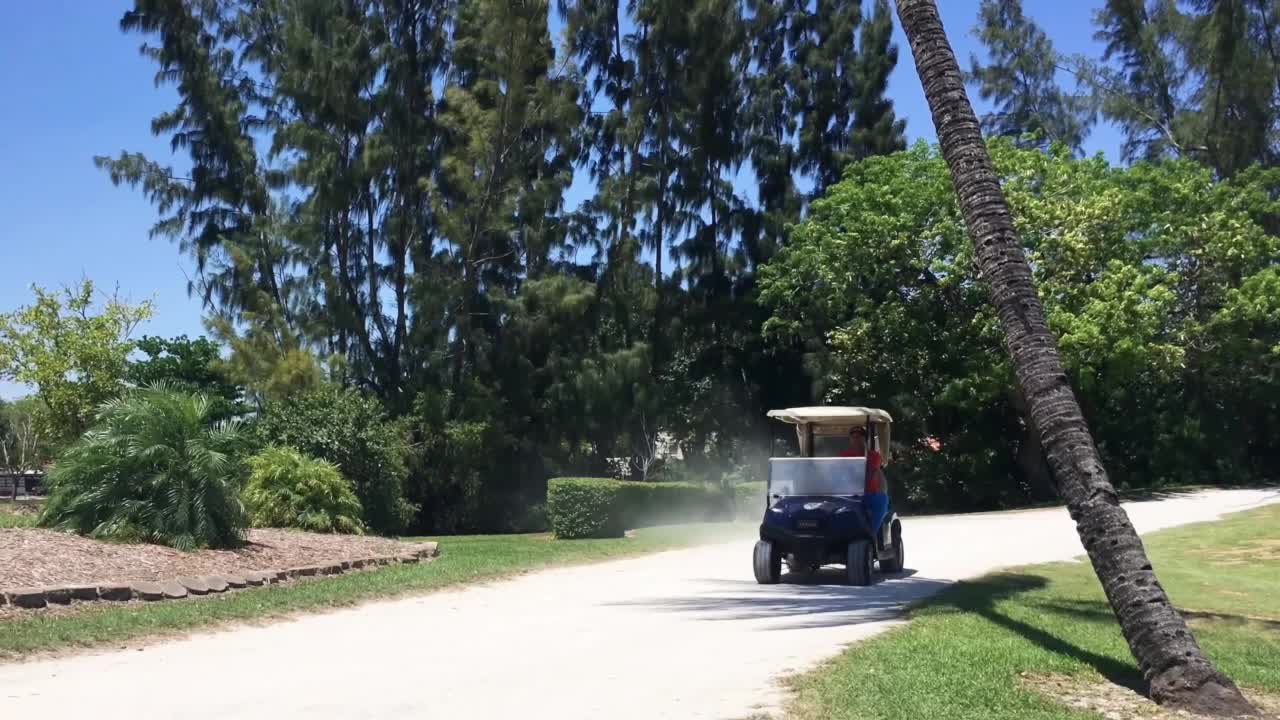
- Parking lots with ambiguous lane boundaries and complex intersection logic
In these environments, the prior map is the difference between a vehicle that works and a vehicle that gets stuck.
The controlled-site advantage
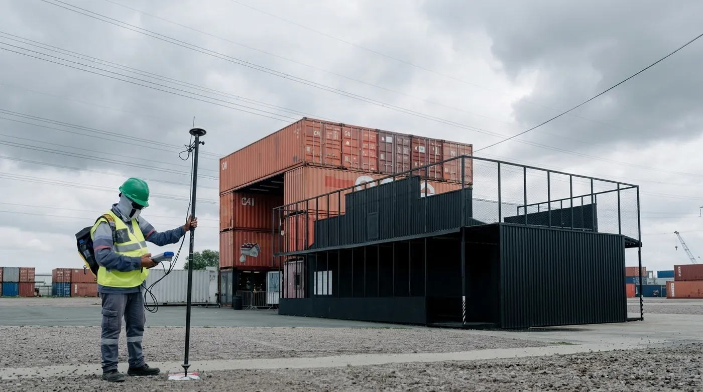
Sites with known geometry and rules (airports, distribution hubs, campuses) present exactly the conditions HD-map-centric autonomy was designed for. The map encodes the site’s operational logic. Lanelets and legal driving regions say where a vehicle can drive. Speed limits, stop signs, and traffic lights say how it should behave. And emergency stopping zones and fallback routes say what happens when things go wrong.
There is a precedent for this pattern, and it is decades old. Aviation’s controlled airspace works because everything in it is charted: published routes, encoded procedures, declared rules. Air traffic control has run safely on prior maps for generations, and nobody calls instrument flying a dead end because end-to-end autonomy is the new fad. Controlled sites bring that same discipline to the ground.
The payoff goes beyond navigation: an auditable, verifiable safety case site operators can actually sign off on.
The Veer Studio thesis
We built Veer Studio because creating HD maps today is harder than it needs to be. But the deeper thesis is this: map-centric autonomy (AV 1.0) works reliably today, and the economic opportunity on controlled sites is massive.
Boring autonomy. Massive economic value.
The robotaxis will get there eventually. In the meantime, there’s a long list of vehicles waiting to be automated, and every one of them needs a map.